
Photographs
Arbutus Ridge in photographs
Every picture on this page was taken on Bowen Island by David Strongman in the spring of 2025. None of it is stock photography and none of it is a rendering. Where a photograph was made elsewhere on the island rather than on the Phase 3 lots, the caption says so.
The ridge and the water
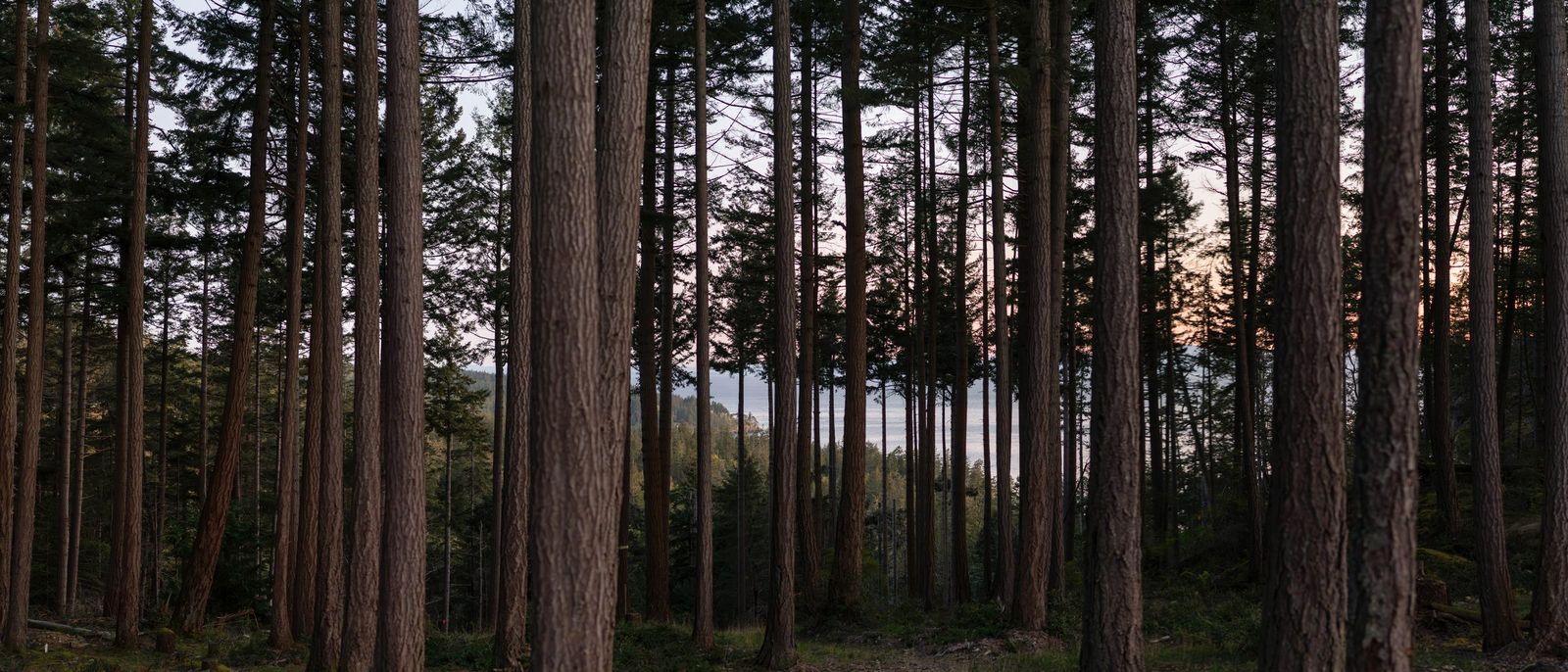
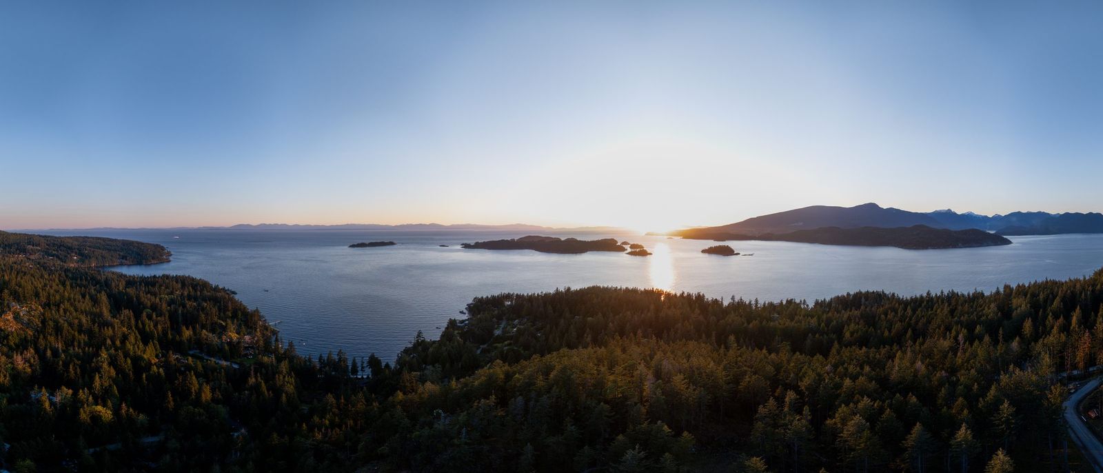
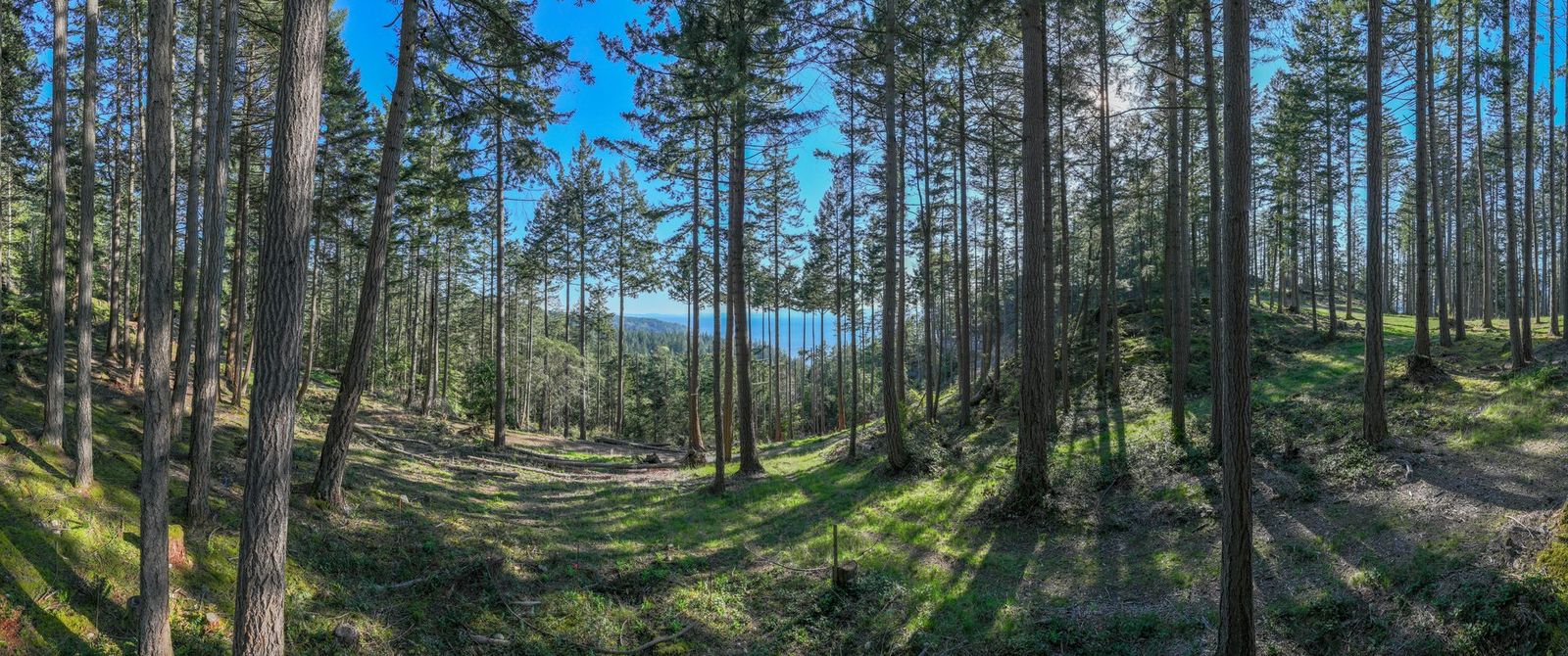
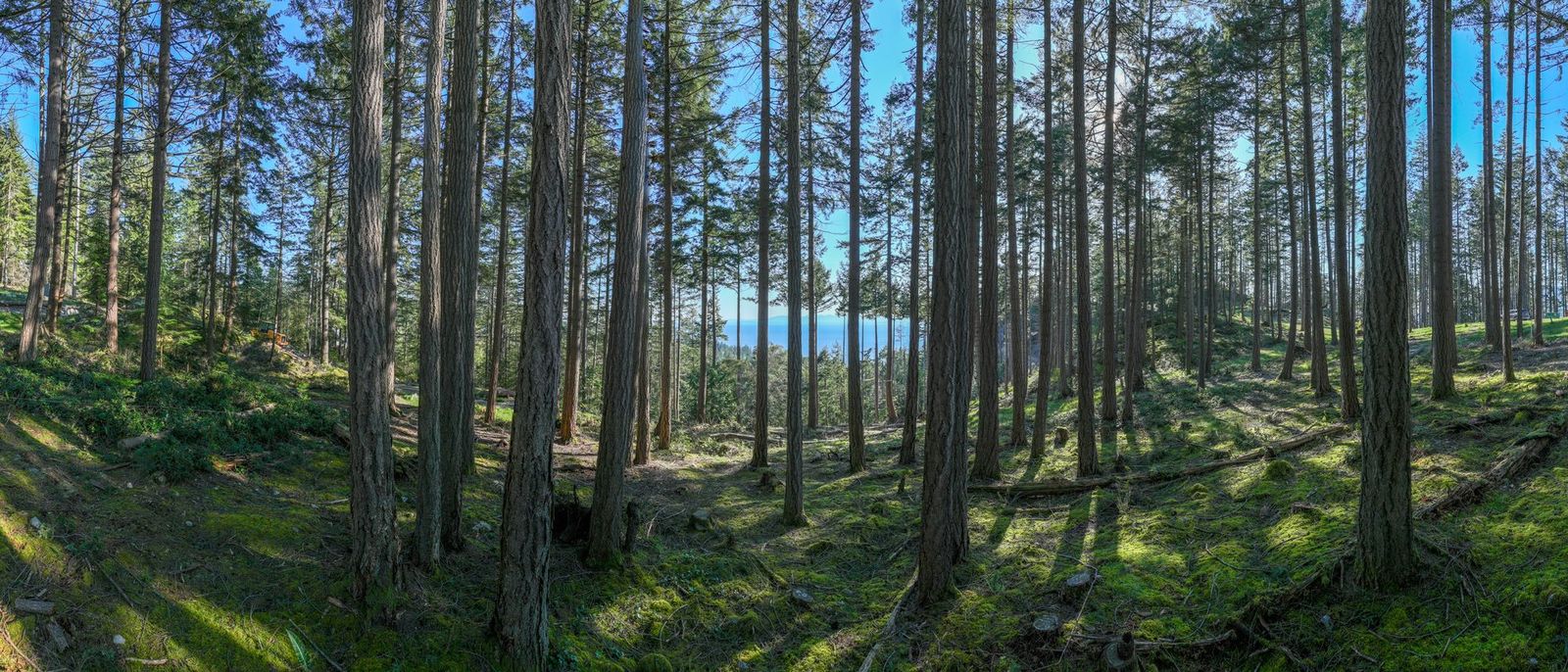
Arbutus Ridge sits on the west side of Bowen Island, on high ground above the water. The trees are second-growth Douglas fir; the ground under them is moss and rock.

The lots
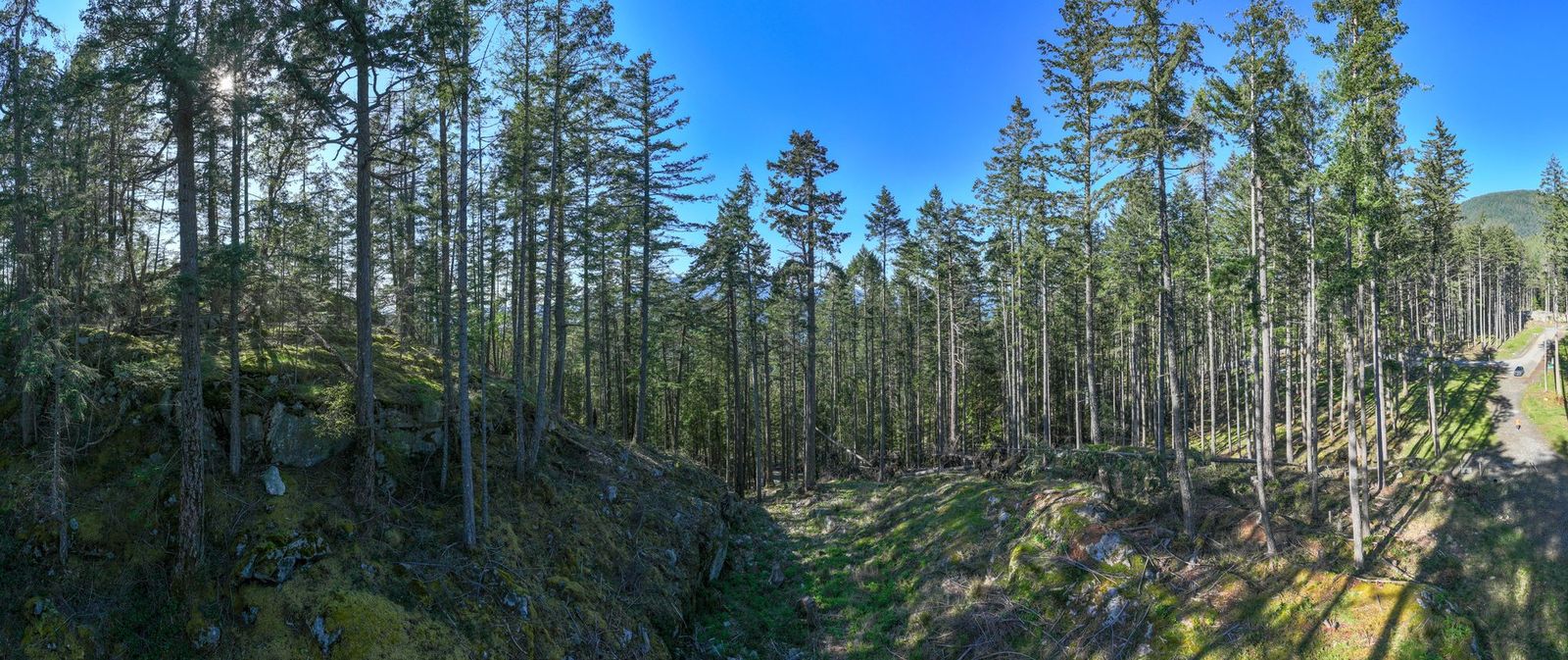
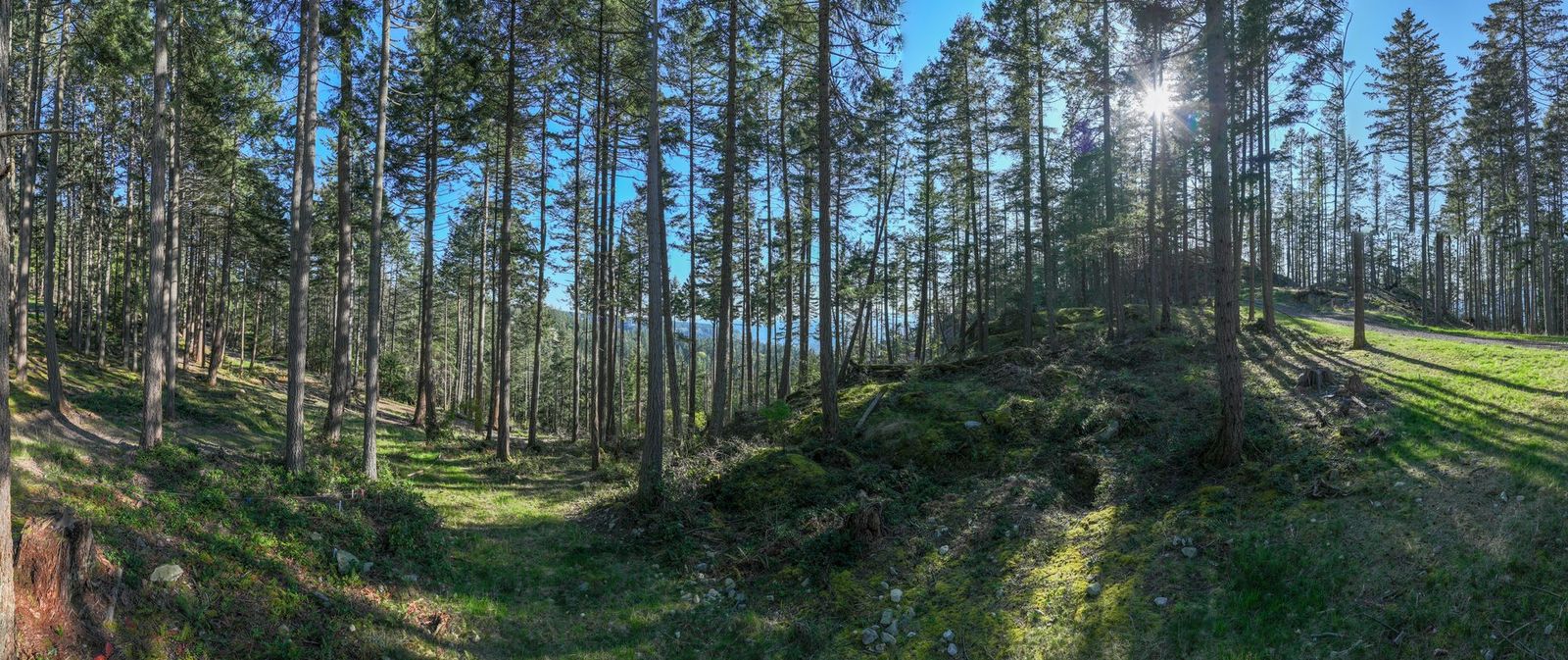
Each of the four lots for sale was photographed from the middle of the lot, the camera turned through 180 degrees in one sweep. The cleared ground in the foreground is the ground you would build on. Follow a caption to read that lot's page.
The road and servicing
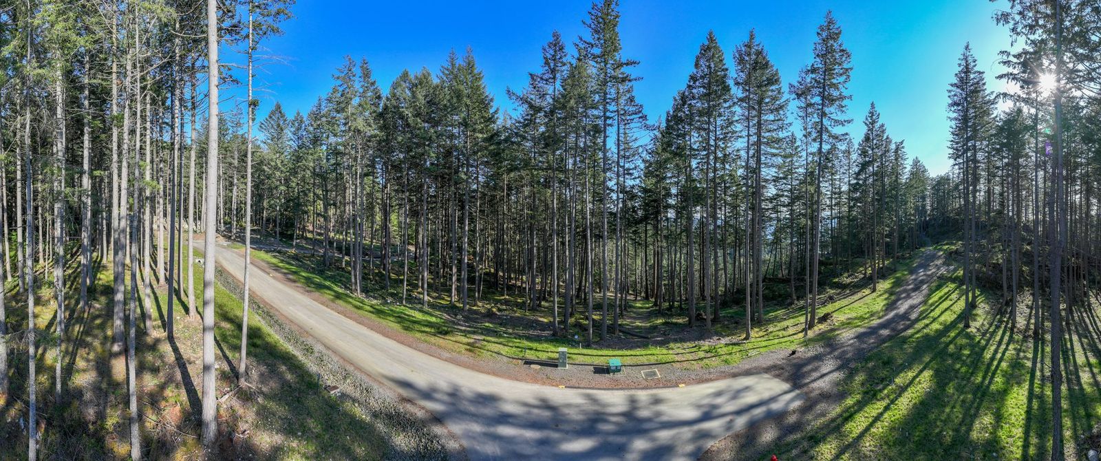
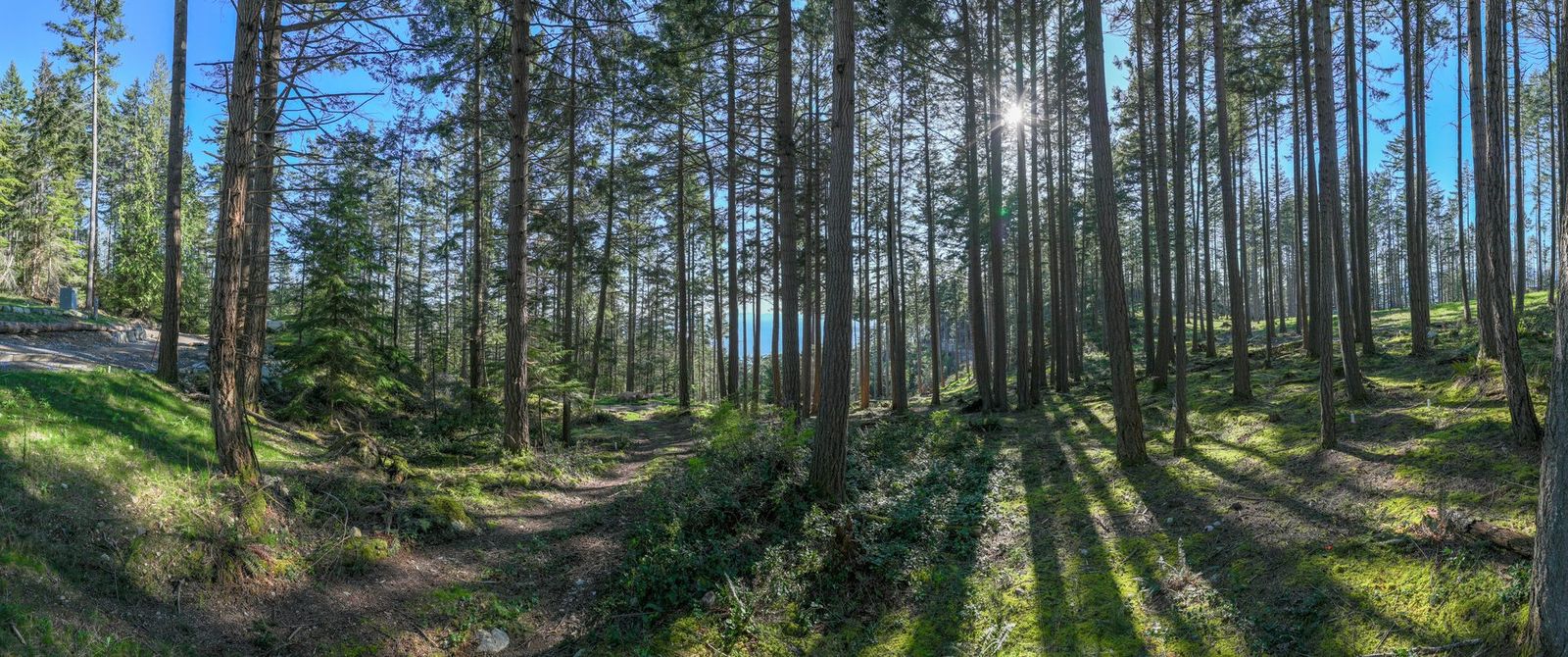
Hayes Road was built to municipal standard and then dedicated — Dedicated public municipal road, not a private or strata road. Water, hydro, telephone and cable are brought to each lot line; the photographs below show the road as it was built, not a plan of it.
Forest and rock
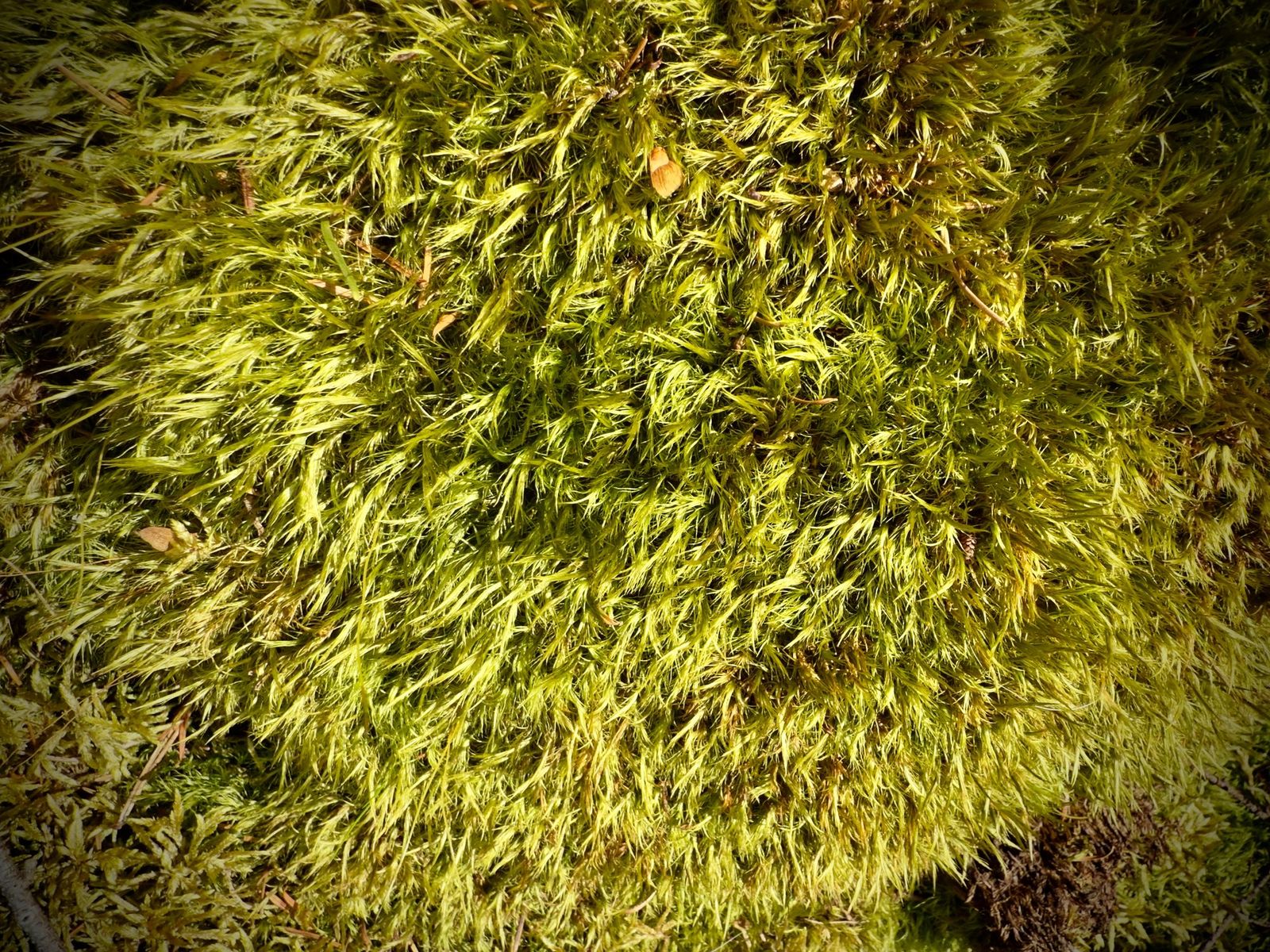
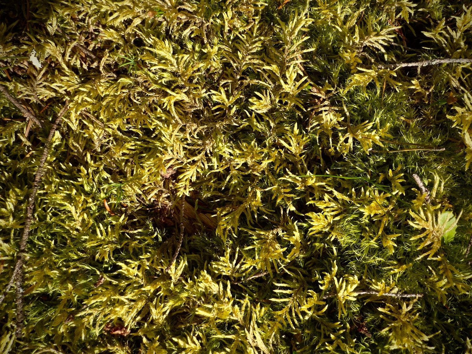
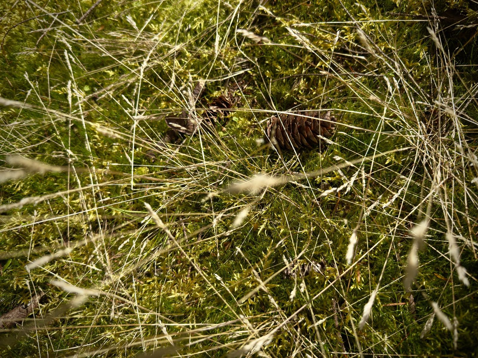
Three close photographs of the ground cover that grows across this part of the island in spring. These three were taken elsewhere on Bowen Island in the same week, not on the Phase 3 lots.
Site plan
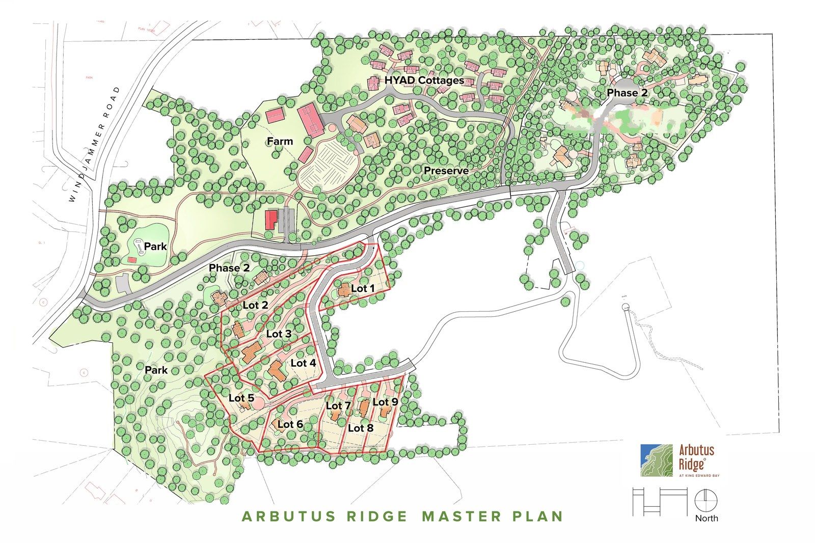
The registered plan of Phase 3: nine lots on Hayes Road, the shared septic field on Lot 10 and the public open space on Lot 11. The site plan page carries the legend, the statutory rights of way and a full-resolution download.
Photography: David Strongman, spring 2025.
See it in person
The photographs show the ground, but the slope and the quiet only read on site. Walks of the lots are by appointment.